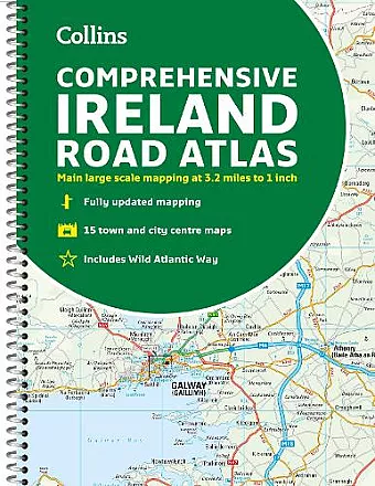
Comprehensive Road Atlas Ireland
Easy to Read, Updated Mapping
Format:Spiral bound
Publisher:HarperCollins Publishers
Published:2nd Mar '23
Should be back in stock very soon
Ideal for both business and leisure, the Comprehensive Road Atlas Ireland provides detailed maps and essential travel information for exploring Ireland.
The Comprehensive Road Atlas Ireland offers an extensive and user-friendly guide to navigating the beautiful landscapes of Ireland. Presented in a convenient A4 spiral-bound format, this atlas is designed for both leisure travelers and business professionals, ensuring that every journey is well-planned and enjoyable. The detailed mapping is presented at a scale of 3.2 miles to 1 inch, which is particularly useful for precise navigation. Additionally, an extra route planning map at 9 miles to 1 inch provides an overview for longer trips.
This atlas is not just about roads; it also features a section dedicated to places of interest, complete with photographs and informative descriptions. Travelers can explore fully indexed maps of major towns and cities such as Bangor, Belfast, Cork, Dublin, Limerick, Lisburn, Londonderry, and Newtownabbey. The updated edition is packed with detailed road mapping, including a color-coded road network that highlights toll roads, Blue Flag and Green Coast beaches, and numerous tourist information centers.
With comprehensive details for visitors to key cities like Belfast, Cork, Dublin, and Limerick, the Comprehensive Road Atlas Ireland serves as the perfect companion for anyone exploring the Emerald Isle. Whether you're planning a road trip or a business visit, this atlas ensures that you won't miss out on any of Ireland's stunning sights and attractions.
ISBN: 9780008412814
Dimensions: 297mm x 215mm x 16mm
Weight: 500g
160 pages
New edition