Nottingham A-Z Street Atlas
Format:Paperback
Publisher:HarperCollins Publishers
Published:4th Mar '21
Should be back in stock very soon
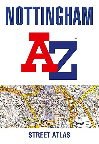
Navigate your way around Nottingham with this detailed and easy-to-use A-Z Street Atlas.
Printed in full-colour, paperback format, this atlas contains 74 pages of continuous street mapping.
The main mapping extends beyond central Nottingham at a scale of 4 inches to 1 mile, featuring postcode districts, one-way streets, park and ride sites, and safety camera locations. Areas covered include:
• Arnold
• Beeston
• Burton Joyce
• Calverton
• Carlton
• Clifton
• Cotgrave
• Eastwood
• Heanor
• Hucknall
• Ilkeston
• Keyworth
• Long Eaton
• Radcliffe on Trent
• Stapleford
• West Bridgford
Separate coverage of Bingham is provided.
The large-scale street map of Nottingham city centre – at a scale of 8 inches to 1 mile – includes:
• Postcode map of the Nottingham area
• Road map of the Nottingham area
• Nottingham Express Transit map
A comprehensive index lists streets, selected flats, walkways and places of interest, place, area and station names. Additional healthcare (hospitals, walk-in centres and hospices) and transport connections (Nottingham Express Transit) are indexed as well.
ISBN: 9780008445188
Dimensions: 215mm x 149mm x 6mm
Weight: 200g
128 pages
9th Revised edition