Collins World Wall Laminated Map
Format:Sheet map, flat
Publisher:HarperCollins Publishers
Published:31st Mar '22
Currently unavailable, our supplier has not provided us a restock date
This sheet map, flat is available in another edition too:
- Sheet map, flat£9.99(9780008492557)
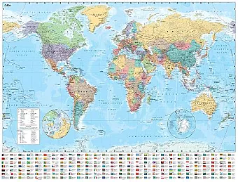
This children’s, teenage & educational sheet map, flat, "Collins World Wall Laminated Map" from Collins Maps, was published 31st March 2022 by HarperCollins Publishers.
ISBN: 9780008492540
Dimensions: 1015mm x 1380mm x 1mm
Weight: 400g