Road Atlas Ireland
Format:Paperback
Publisher:AA Publishing
Published:1st Apr '20
Currently unavailable, our supplier has not provided us a restock date
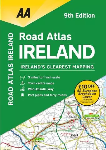
This atlas includes AA approved camping sites, viewpoints, picnic sites, port plans and ferry routes. Plus, motorway strip maps detailing all of Ireland’s motorway junctions. Toll motorways and motorway service areas are clearly highlighted. There are 10 detailed city and town plans with street indexes of Belfast, Cork, Londonderry, Dublin, Galway, Killarney, Kilkenny, Limerick, Sligo and Waterford. An easy-to-read 3,500 place name index, includes top tourist sites, airports and service areas. Irish language areas are shown on the main mapping with place names in both English and Irish. District maps of Dublin and Belfast show the surrounding area in more detail and a clear route planner map is included for journey planning across the county.
ISBN: 9780749582302
Dimensions: unknown
Weight: unknown
104 pages