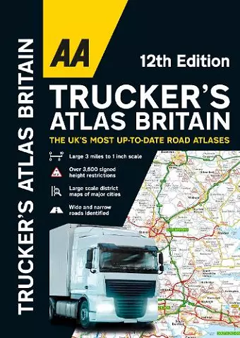
AA Trucker's Atlas Britain
Essential route planning guide for truck drivers
Format:Spiral bound
Publisher:AA Publishing
Published:26th Oct '23
Should be back in stock very soon
This atlas serves as a comprehensive guide for truck drivers, featuring vital information on routes, bridge heights, and restrictions throughout Britain, including the AA Trucker's Atlas Britain.
The AA Trucker's Atlas Britain is an invaluable resource designed specifically for professional drivers navigating the roads of Britain. This large format A3 atlas features a clear scale of 3 miles to 1 inch, making it easy to plan routes effectively. With over 3,600 bridge height restrictions clearly marked, as well as 23 detailed port plans, this atlas ensures that drivers are well-informed about their journey. The inclusion of a comprehensive route planner map and details about Network Rail’s #wiseupsizeup campaign further enhances its utility, providing essential information on preventing bridge strikes.
Fully updated for 2024, the atlas also incorporates truck and freight ferry routes, a quick reference distance chart, and an explanatory list of restricted motorway junctions. A special 12-page section dedicated to London street mapping highlights height, width, and weight restrictions, ensuring that drivers can navigate the city safely. Additionally, large scale district maps for major cities such as Birmingham, Glasgow, Manchester, and Tyne & Wear provide further clarity.
Particularly beneficial for truck drivers, the AA Trucker's Atlas Britain emphasizes crucial information on bridge heights, including frequently struck rail bridges. The atlas distinguishes roads narrower than 4 meters, as well as road tunnels, toll roads, service areas, steep gradients, level crossings, and low emission zones. This comprehensive guide is an essential tool for all truck drivers and professionals in the haulage industry, making it a must-have for safe and efficient travel.
ISBN: 9780749583583
Dimensions: unknown
Weight: unknown
144 pages
12th New edition