AA Traveller’s Atlas France 2026
Format:Paperback
Publisher:AA Publishing
Published:1st Jun '25
Should be back in stock very soon
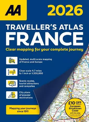
This specialist A4 road atlas is designed for the British motorist in France. With the mapping scale at 4.7 miles to 1 inch, coverage includes 28 city centre plans to help you find your way in and around busy centres.
The road mapping clearly shows places of interest and important features to help drivers find their way more easily and explore France in greater detail. The mapping includes 6 district (environs) maps covering Brest, Strasbourg, Marseille, Paris, Nice, Monaco and Nimes, Avignon and Orange.
ISBN: 9780749584382
Dimensions: unknown
Weight: unknown
336 pages
3rd New edition