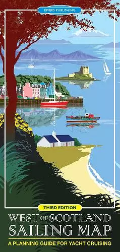
West of Scotland Sailing Map
A planning guide for yacht cruising
Format:Sheet map, folded
Publisher:Rivers Publishing UK
Published:18th Mar '18
Should be back in stock very soon
This high quality topographical map is specially designed to show the 'Big Picture' for the yachtsman planning to cruise in the West of Scotland. The format of the map is designed to be clear, convenient and user-friendly so that it provides a unique combination of the best information shown on a conventional road map with selected nautical details. The map is at a convenient scale of 1:350,000 (approx. 6 miles to an inch) and covers a huge sailing area from the Clyde to Ullapool and the Outer Hebrides as far north as Stornaway.
This new Third edition shows 3 new marinas, 8 new pontoons and 10 new visitor moorings. Since it was first published the map has become very popular with all kinds of sailors - check out the reviews; but it is also popular with the general user as it is the only map currently available that clearly shows this area of the West Coast of Scotland and the Hebrides.
The topographical base map is a quite detailed and shows the information that is important to most visitors - towns, villages, roads, railways, stations, ferry crossings, airports, islands, bays, headlands, straits, mountains, relief, rivers and lakes with all this detail in slightly muted colours. Over this is superimposed the sailing information - highlighted in bright colours to stand out - Marinas, pontoons, visitor moorings, selected anchorages, diesel supplies, areas with especially strong tidal streams, and a few selected pubs.
It should be stressed that the map is a planning aid to show the 'Big Picture' and should not of course be used for navigation!
ISBN: 9780995751323
Dimensions: unknown
Weight: unknown
1 pages
3rd edition