London Map
Format:Sheet map, folded
Publisher:HarperCollins Publishers
Published:8th Oct '18
Currently unavailable, our supplier has not provided us a restock date
This sheet map, folded is available in another edition too:
- Sheet map, folded£4.99(9780008581787)
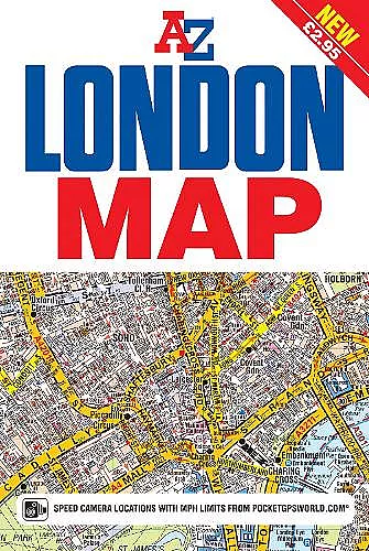
The A-Z London Map is a self-covered, fold-out sheet map which combines our instantly recognizable A-Z street mapping with a street index on the reverse.
Published at a scale of 3.5 inches to 1 mile, the map extends out from central London to:
• Highbury and Hackney in the north
•Clapham Common and Lewisham in the south
•Notting Hill and Barnes in the west
•Stratford and Greenwich Peninsula, with the O2, in the east.
Postcode districts, one-way streeets, the congestion charging zone boundary and safety camera locations with speed limits are featured on the mapping.
TfL's central area Tube map forms the back cover, making it easy to refer to without opening the sheet.
This publication is the perfect choice for those wanting the combination of a desirable map area and a compact folded size.
ISBN: 9781782572626
Dimensions: 165mm x 113mm x 5mm
Weight: unknown
1 pages