Walk! La Palma
Charles Davis author Jan Kostura author David Brawn illustrator Rosamund Brawn editor
Format:Paperback
Publisher:Discovery Walking Guides Ltd
Published:26th Mar '18
Should be back in stock very soon
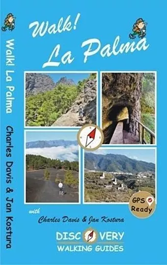
Revised and updated 4th edition of Walk! La Palma including the latest Tour & Trail Mapping. Walk! La Palma includes 37 fully detailed walking route itineraries. Each walking route itinerary includes:- - walking route summary - ratings for Effort, Time, Distance, Ascents/Descents, Refreshments and Vertigo risk - fully detailed walk description, including frequent timings to aid navigation and check your progress - GPS Waypoints at every key point on every route where there is good gps reception - full colour 1:40,000 scale map of the route - short walk and stroll alternatives There are some easy routes. There are some challenging routes for fit experts. With author/researchers Charles Davis' and Jan Kostura's excellent walk descriptions you'll know which routes are for you - and all of them are a true adventure. The steepest island in the world, the deepest crater, the clearest skies: volcanoes you can climb without being shot into orbit; a subtropical forest minus the slimy things slinking up your trouser leg; black beaches, blue seas, high mountains, vegetation that is literally flamboyant, everything linked by 1080 kilometres of waymarked paths; and all virtually untouched by tourism. If this sounds divine or like some lost paradise, you're not the first to think so, previous commentators have identified La Palma as the prototype for both the Elysian Fields and Atlantis! The fanciful stuff aside, the island is a walker's idyll, utterly tranquil, verdant and almost unspoiled. GPS Waypoint files (in gpx file format) for Walk! La Palma are available as a free zip file download on Discovery Walking Guides website. Synopsis 37 detailed walking route itineraries. Each route includes:- walking route summary; ratings for Effort, Time, Distance, Ascents/Descents, Refreshments and Vertigo risk; and more. It also provides background information along with details of accommodation, buses, official walking routes, mountain biking, museums, and information offices.
ISBN: 9781782750482
Dimensions: 210mm x 120mm x 10mm
Weight: unknown
144 pages
4th edition