3220 Cabo de la Nao to the French border Chart Pack Wiro-bound
Format:Spiral bound
Publisher:Imray, Laurie, Norie & Wilson Ltd
Published:22nd Jul '19
Should be back in stock very soon
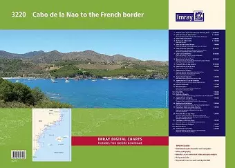
A brand new chart atlas covering Mediterranean Spain from Cabo de la Nao to the French border. This appealing cruising area stretches from Jávea and Dénia in the south, past the low-lying Ebro delta to the charming towns along the rugged Costa Brava in the north. It includes the cities of Valencia, Tarragona and Barcelona. The 23 sheets in the atlas provide all the necessary information for passage planning and detailed approaches to harbours, more than 150 recommended anchorages and marina contact details. In loose-leaf A2 format in a tough plastic wallet. Also available non wiro-bound. Imray Digital Charts: Free mobile download A voucher code to download the relevant Imray digital charts into our Imray Navigator app is included with this atlas. Charts included: 1. Mediterranean Spain North Passage Planning Chart (1:1 200 000) 2. Cabo de la Nao to Cabo Cullera (1:150 000) includes plans Puerto de Oliva (1:7500), Puerto de Gandía (1:15 000) & Cabo Cullera Anchorages (1:50 000) 3. Cabo Cullera to Burriana (1:150 000) 4. Burriana to Cabo de Irta (1:150 000) includes plan Puerto de Burriana (1:10 000) 5. Cabo de Irta to Cabo Tortosa (1:150 000) includes plans Puerto de Peñíscola (1:12 500), Puerto de Benicarló (1:12 500) & Puerto de Vinaròs (1:12 500) 6. Cabo Tortosa to Cabo Gros (1:150 000) includes plans Puerto Deportivo de Sant Jordi d'Alfama (1:7500), Puerto de Calafat (1:7500), Puerto de Hospitalet de L'Infant (1:7500) & Puerto de Cambrils (1:7500) 7. Cabo Gros to Barcelona (1:150 000) includes plans Puerto de Vilanova i la Geltrú (1:10 000), Puerto de Aiguadolç (1:10 000), Puerto de Garraf (1:10 000) & Puerto de Ginesta (1:10 000) 8. Barcelona to Cabo de Tossa (1:150 000) includes plans Puerto de El Masnou (1:10 000), Puerto de Premià de Mar (1:10 000), Puerto de Mataró (1:10 000), Port Balís (1:10 000) & Puerto de Arenys de Mar (1:10 000) 9. Punta d'En Pau to Cap Cerbère (1:150 000) 10. Approaches to Jávea & Dénia (1:50 000) includes plans Puerto de Jávea (1:12 500) & Puerto de Dénia (1:12 500) 11. Approaches to Valencia (1:50 000) includes plans Puerto de Valencia - Yacht Harbour Real Club Náutico (1:15 000), Puerto de Valencia - Marina Real Juan Carlos I (1:15 000)...
ISBN: 9781786791429
Dimensions: unknown
Weight: 660g
24 pages