C62 Irish Sea
Format:Sheet map, folded
Publisher:Imray, Laurie, Norie & Wilson Ltd
Published:15th Feb '24
Should be back in stock very soon
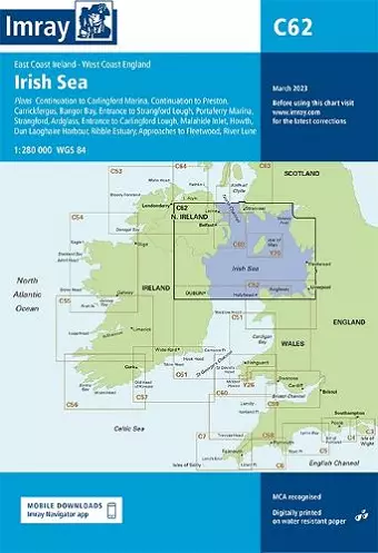
Plans included: Carrickfergus (1:15 000) Bangor Bay (1:17 500) Entrance to Strangford Lough (1:37 500) Portaferry Marina (1:7500) Strangford (1:5000) Ardglass (1:15 000) Entrance to Carlingford Lough (1:26 000) Malahide Inlet (1:35 000) Howth (1:12 500) Dun Laoghaire Harbour (1:15 000) Ribble Estuary (1:125 000) Approaches to Fleetwood (1:50 000) River Lune (1:100 000) Continuation to Carlingford Marina (1:40 000) Continuation to Preston (1:125 000) On this edition the chart specification has been improved to show coloured light flashes. Updated bathymetric Digital has been included where available. The firing practice areas have been updated. There has been general updating throughout.
ISBN: 9781786791917
Dimensions: unknown
Weight: 240g
2 pages
New edition