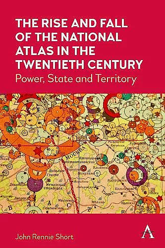
The Rise and Fall of the National Atlas in the Twentieth Century
Power, State and Territory
Format:Hardback
Publisher:Anthem Press
Published:12th Jul '22
Currently unavailable, and unfortunately no date known when it will be back
This hardback is available in another edition too:
- Paperback£25.00(9781839992476)
Examines national atlases as an intriguing window into the connections between science, state, territory and power.
Many countries produced an official national atlas in the twentieth century. This book examines these national atlases as an intriguing window into the connections between science, state, territory and power.
Between 1900 and 2000, more than seventy countries produced a national atlas, an official or quasi-official rendering of the nation-state in maps and accompanying text. This book considers the reasons behind and characteristics of this state-sponsored cartographic explosion. These national atlases mirror and embody some of the important themes of this turbulent century, including the complex connections between nation, state and territory, the rise of state-sponsored science; the growth of nation-states; colonialism and postcolonialism; and the geography of biopolitics.
“A highly significant work not only for cartographic studies but also for historians of nationalism. Properly wide-ranging and clearly argued, this important work deserves much attention.” – Jeremy Black, author of Maps and History.
“The book is an engaging discussion of the history and the histories of national atlases around the world. By using abundant visual material, the author delivers a cartographic tour-de-force to point out connections between nation-state, territory, and maps in the twentieth century.” –Jorn Seemann, Professor of Geography, Ball State University, USA.
“This compelling new history shows how nations used the power of maps to advance their interests. Short’s wide-ranging survey spans the globe in an era of rising and falling empires, global warfare, and expanding economies. It reveals how modernizing states pictured themselves to the world with cartography.” – Dr. S. Max Edelson, Department of History, University of Virginia, USA.
Short (Univ. of Maryland) explores how various aspects of national atlases—from the classic representation of physical space to the more recent theme of biopolitics—help show what the governing bodies of those nations felt was important about their citizens. His discussions of the significant roles that atlases play in nations' identities and what national atlases show about the state of the world at particular historical moments are especially interesting. It makes effective use of illustrations to explain various aspects of national atlases and is overall logically organized and readable. An excellent introduction to national atlases and their place in history. Highly recommended. – W. J. Rafter, West Virginia University Libraries; Choice
In this path-breaking, clearly written and altogether delightful read, John Rennie Short utilizes a critical-theory approach to address the production and content of national atlases as instruments of statecraft—interrogating ‘connections between nation-state, science, territory and power’.[…] With this account, which is at times perhaps too breezy and informal but always engaging, Short provides what I personally hope will become a provocative statement on national atlases. – Imago Mundi, The International Journal for the History of Cartography
The book clearly delivers a review of how cartography has been used to show how states see themselves in the world. Maps, charts, and figures have been used to make comprehensible truly vast amounts of societal data—data that is ever more detailed and expanding. The author, to his credit, does an excellent job in reviewing the effectiveness of the presentation of data via these techniques— The Portolan
To present a balanced perspective, the author selected national atlases from countries that ranged from quite rich to relatively poor. The author was also careful to select national atlases from both capitalist and communist countries in the review ... includes plenty of history and insights covering politics and social history of the twentieth century. Throughout the text, the author has included many colour illustrations from the pages of atlases being discussed. I highly recommend this book as a fine addition to any academic library collection focused on cartography and world political history—ACMLA Bulletin
John Rennie Short’s The Rise and Fall of the National Atlas in the Twentieth Century offers a compelling review and analysis of many of the official national atlases that have been published around the world. [...] It is an enlightening read for cartographers, geographers, historians, and anyone interested in maps and geopolitics. —Cartographic Perspectives
ISBN: 9781839983030
Dimensions: 229mm x 153mm x 26mm
Weight: 454g
182 pages