A28 Guadeloupe
Deshaies, Pigeon Island, Marina de Rverie Sens,.....
Format:Sheet map, folded
Publisher:Imray, Laurie, Norie & Wilson Ltd
Published:1st Jul '24
Should be back in stock very soon
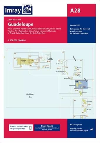
Imray-Iolaire charts for Caribbean are widely acknowledged as the best available for the cruising sailor. They combine the latest official survey Digital with first-hand information gathered over 60 years of research by Don Street Jr and his wide network of contributors. Like all Imray charts, they are printed on water resistant Pretex paper for durability, and they include many anchorages, facilities and inlets not included on official charts. Leeward Islands Plans included: Deshaies (1:25 000) Pigeon Island (1:25 000) Marina de Rivière Sens (1:10 000) Pointe-à-Pitre Approaches (1:50 000) Pointe-à-Pitre (1:25 000) Gosier (1:30 000) Sainte François & Marina de la Grande Saline (1:10 000) Port Louis (1:20 000) Îles de la Petite Terre (1:50 000) On this edition the latest information on Marine Reserves is shown. The revised buoyed approach to Pointe á Pitre is shown and a revised plan showing the new channel along with recommended tracks is included. The plan of Deshaies has been extended to show a greater approach from the south. A new plan of Pigeon Island is included, showing anchorages and the marine reserve. The chart specification has been improved to show coloured light flashes. There has been general updating throughout.
ISBN: 9781846238666
Dimensions: unknown
Weight: 220g
2 pages
New edition