Philip's Navigator Street Atlas Oxfordshire
Spiral edition
Format:Spiral bound
Publisher:Octopus Publishing Group
Published:6th Jul '23
Should be back in stock very soon
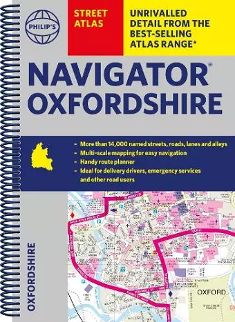
The Philip's Navigator Street Atlas Oxfordshire is an essential resource for anyone navigating the intricate network of roads and streets in Oxfordshire. With over 11,000 named streets, this atlas serves as a reliable companion for emergency services, delivery drivers, visitors, and locals alike. The spiral-bound format makes it practical for quick reference, ensuring that users can find their way efficiently, even in urgent situations.
This updated edition includes detailed maps of popular locations such as Abingdon-on-Thames, Banbury, Bicester, and Oxford, providing comprehensive coverage of the area. Each map highlights important features like car parks, schools, hospitals, and other points of interest, making it easy for users to locate essential services and attractions. The atlas also offers a two-page route-planning section, allowing users to navigate A and B roads with ease.
In addition to its clear mapping, the Philip's Navigator Street Atlas Oxfordshire includes valuable information on postcode boundaries, public transport stations, and leisure facilities. With its user-friendly index and clear scales, this atlas is designed for both residents and visitors, ensuring that everyone can explore Oxfordshire with confidence and ease.
ISBN: 9781849076319
Dimensions: 266mm x 194mm x 14mm
Weight: 640g
296 pages