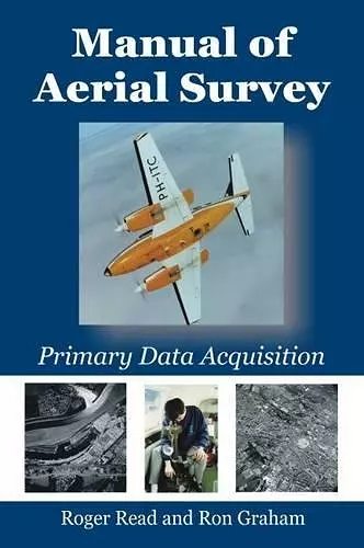
Manual of Aerial Survey
Primary Data Acquisition
Roger Read author Ron Graham author
Format:Paperback
Publisher:Porto Press Ltd
Published:2nd Aug '16
Should be back in stock very soon

Primary data acquisition is the front end of mapping, GIS and remote sensing and involves: aviation, navigation, photography, cameras (film and digital systems), GPS systems, surveying (ground control), photogrammetry, computerized systems and above all - keeping abreast of modern techniques. This book deals with differential GPS systems, survey flight management systems (both simple and sophisticated), film types, modern film survey cameras such as LH RC-30, Z/I RMK-TOP, digital cameras, infrared methods, laser profilers, airborne laser mapping, satellite systems, laboratory processing (chemical and digital), and camera platforms (fixed wing and helicopter). A fresh approach to the subject includes: soft-copy photogrammetry using desktop computerized systems, film scanners and direct digital camera inputs. Comparisons are made between old film-based technologies and the new digital camera systems, including the Z/I modular digital mapping camera and the LH "push-broom" ADS 40 camera. The book should be useful to survey operators, aerial photographers, photogrammetrists, surveyors, cartographers and mapping scientists, GIS specialists and the new generation of "desk-top" mapmakers.
It is a standard reference for survey practitioners, civil engineers and planner, flight crews, and academics and students in surveying, photogrammetry, remote sensing, GIS and earth sciences.
'...this is a reference book that should be on every photogrammetrist's bookshelf whether they work in government, industry or academia. It has a good mix of theory and practical application to be useful for a broad range of expertise'. Spatial Science -------------------- '...is an important reference manual for every professional all over the world involved in surveying the earth from the air'. GIM International -------------------- '...a comprehensive and often detailed practical treatment of all the various aspects of image acquisition from the air. ... ...as an authoritative treatment of a vital supporting aspect of geomatics it should feature on the shelves of libraries serving every teaching institution for the geomatics profession'. Geomatics World -------------------- '...is a great source of information relating to aerial acquisition and is a resource that I will gladly place on my bookshelf'. POB -------------------- '...a book to recommend to anyone involved in aerial survey. It has potential, both as a learning text for students of the subject, and as a reference manual...' SoC Bulletin -------------------- '...an essential reference... It is comprehensive in its coverage, easy to navigate and useful for both the existing professioinal ... and the student...' Photogrammetric Record
ISBN: 9781849952866
Dimensions: 235mm x 155mm x 25mm
Weight: 736g
352 pages