Peddars Way & Norfolk Coast Path
Format:Sheet map, folded
Publisher:Harvey Map Services Ltd
Published:19th Mar '20
Should be back in stock very soon
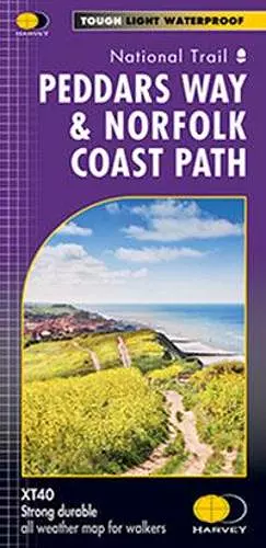
Entire route on one map
Peddars Way (74km) and Norfolk Coast Path (134km) together are one of 16 National Trails in England and Wales. Peddars Way runs from Knettishall Heath Country Park to Holme-next-the-sea and Norfolk Coast Path hugs the coastline from Hunstanton to Hopton-on-Sea, passing through the Norfolk Coast AONB. As a moderate long distance walk, this is considered to be one of the most accessible National Trails.
The map shows the entire route from St Dogmaels to Amroth.
Tough, light, durable and 100% waterproof
Includes Rights of Way
Route clearly marked
ISBN: 9781851376292
Dimensions: unknown
Weight: 46g
1 pages