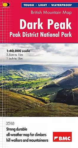
Dark Peak British Mountain Map
Peak District National Park
Format:Sheet map, folded
Publisher:Harvey Map Services Ltd
Published:15th Aug '25
Should be back in stock very soon
"The 1:40,000 scale used by British Mountain Maps is excellent for hill walking. These maps provide clear, detailed information." Sir Chris Bonington, mountaineer.
Detailed map of the Dark Peak’s famous Moorland Hills and Edges on a single sheet at 1:40,000 scale.
Detailed enlargement of the Kinder plateau. Map extension to Marsden.
As used by Woodhead Mountain Rescue Team.
Tough, light, durable and 100% waterproof
Genuine original HARVEY mapping
Includes Rights of Way
Tried and tested by the British Mountaineering Council
ISBN: 9781851377305
Dimensions: unknown
Weight: unknown