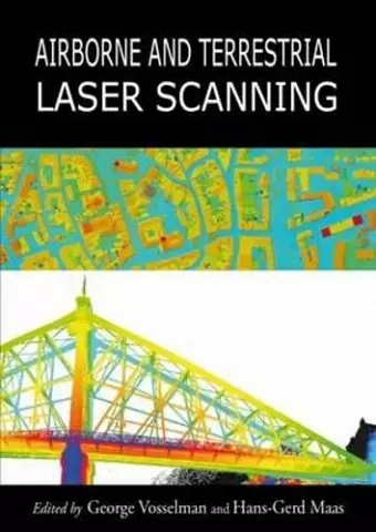
Airborne and Terrestrial Laser Scanning
George Vosselman author Hans-Gerd Maas author
Format:Hardback
Publisher:Porto Press Ltd
Published:5th Feb '10
Should be back in stock very soon

Written by a team of international experts, this book provides a comprehensive overview of the major applications of airborne and terrestrial laser scanning.
It brings together the various facets of the subject in a coherent text that will be relevant for advanced students, academics and practitioners.
'The authors and editors are to be congratulated for this effort at bringning together the knowledge of the technology, data handling and applications of laser scanning in a comprehensive book for the first time. I would recommend it as essential reading for any student or professional in the fieldof geospatial technology and its applications.' GIS DEVELOPMENT '...the editors ... did a tremendous job and provided a comprehensive and coherent textbook... The book ... is a must-have textbook for students which are interested in the large field of airborne and terrestrial LiDAR and will surely become an important reference for practitioners involved in the acquisition and use of laser scanning data.' Photogrammetrie Fernerkundung Geoinformation '...a comprehensive work... This text provides a comprehensive account of airborne and terrestrial laser scanning. ... This will likely become a core textfor undergraduate students, but will doubtlessly also appeal to a broader range of readers, including those engaged in academic research and commercial practice.' Geomatics World '...this book will form a useful reference work... ...an excellent basic text... ...will serve as a reference book for the many users who need to understand the technology and principles of airborna and terrestrial laser scanning. There is no better alternative today.' International Journal of Digital Earth 'A valuable addition to laser scanning literature... For advanced undergraduates or postgrads, Chapters 1 to 3 are an excellent introduction to the technology, and for practitioners, the applications chapters show how laser scanning data is processd to produce the products they use in many, diverse disciplines. An excellent purchase for either group.' GEOconnexion International
ISBN: 9781904445876
Dimensions: 240mm x 170mm x 20mm
Weight: 997g
336 pages