North Wales Coast Path Map
1:25,000 Ordnance Survey maps for the Wales Coast Path
Format:Paperback
Publisher:Northern Eye Books
Published:2nd Mar '22
Should be back in stock very soon
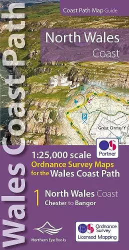
One of seven handy, lightweight, pocket sized map books covering the whole of the 870 mile/1400 kilometre Wales Coast Path. This volume covers North Wales from Chester to Bangor and includes enhanced large scale (1:25,000) Ordnance Survey mapping in a handy atlas format, with extracts from large scale Explorer maps 266, 265, 264 and OL17. The official route of the Wales Coast Path is highlighted and on-map symbols show amenities at main towns and villages. There is an introduction and additional useful information.
ISBN: 9781908632586
Dimensions: unknown
Weight: 82g
48 pages