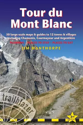
Tour du Mont Blanc Trailblazer Guide
50 Large-Scale Maps & Guides to 12 Towns & Villages including Chamonix, Courmayeur and Argentiere
Format:Paperback
Publisher:Trailblazer Publications
Published:26th Jul '23
£16.99
Available to order, but very limited on stock - if we have issues obtaining a copy, we will let you know.
All the information you need to enjoy your mountain trail adventure
At 4810m (15,781ft), Mont Blanc is the highest mountain in western Europe, and one of the most famous mountains in the world. The trail (105 miles, 168km) that circumnavigates the massif, passing through France, Italy and Switzerland, is the most popular long distance walk in Europe.
The Trailblazer Tour du Mont Blanc guide Includes:
- 60 maps - 12 town and village plans and 50 large-scale walking maps - at 1:20,000 - showing route times, gradients, where to stay, interesting features. Walking directions, tricky junctions, places to stay and eat, points of interest and walking times are all written onto the maps themselves in the places to which they apply. With their uncluttered clarity, these are not general-purpose maps but fully-edited maps drawn by walkers for walkers
- Itineraries for all walkers - whether walking the 105 mile (168km) route in its entirety, or sampling the highlights on day walks and short breaks
- Practical information for all budgets - where to stay (campsites, gites, hostels, B&Bs, lodges and hotels), where to eat, what to see
- Comprehensive background information - the Alps, flora and fauna, the history of mountaineering and trekking in the region and the conquest of Mont Blanc in 1786 by Bourrit and Balmat
- Full public transport information - for all access points
- Climbing Mont Blanc - practical information, guides, the route to the top <
“I would highly recommend this Trailblazer guide"
ISBN: 9781912716364
Dimensions: unknown
Weight: 210g
220 pages
3rd Revised edition