Hadrian’s Wall Path map booklet
Format:Paperback
Publisher:Rucksack Readers
Published:5th Nov '25
Should be back in stock very soon
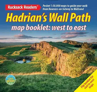
Hadrian’s Wall Path is a superb National Trail that runs for 85 miles (137 km) beside the Roman wall between Bowness-on-Solway and Wallsend, near Newcastle. Experts can't agree whether it's better to walk it from west to east or vice versa, so this booklet uniquely does both: just flip it to reverse the direction with miles correctly numbered from 0 to 85.
This map booklet helps you to enjoy this classic walk in either direction or in both:
- route rewalked and updated in late 2025
- route line more accurate than OS mapping and the official website
- two booklets in one, west-to-east and east-to-west
- custom, clear mapping at 1:50,000: no irrelevant clutter
- forts, milecastles and visitor centres shown
- includes city centre plans for Carlisle and Newcastle upon Tyne
- lightweight (50 grams) and small enough to slip in your pocket
- robust, opens flat and printed on rainproof paper. <
ISBN: 9781913817350
Dimensions: 120mm x 130mm x 2mm
Weight: 45g
40 pages