Gers, Lot-et-Garonne - Michelin Local Map 336
Map
Format:Sheet map, folded
Publisher:Michelin Editions des Voyages
Published:1st Apr '16
£5.99
Available to order, but very limited on stock - if we have issues obtaining a copy, we will let you know.
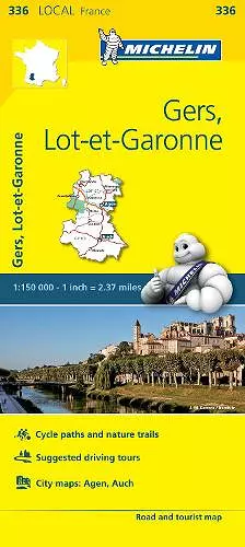
(Edition updated in 2016) The MICHELIN Gers, Lot-et-Garonne local map, scale 1/150,000 is the ideal companion to fully explore this popular area of France and provides star-rated Michelin tourist itineraries and attractions, as well as impressive 3D relief mapping. MICHELIN local maps are perfect for cyclists and outdoor enthusiasts with over 20 leisure symbols, extensive coverage of cycling paths and nature trails. With MICHELIN local maps, find more than just your way! MICHELIN LOCAL MAPS provide detailed coverage of France are perfect for fully exploring these countries and are also ideal for cyclists. * Impressive & realistic 3D relief mapping * Michelin selected itineraries and must-sees of the area * A clear and comprehensive key with 20 leisure symbols, as well as cycling paths and nature trails. * Star rated tourist sights and attractions cross-referenced with the famous MICHELIN Green Guides. * Plans of main cities and a comprehensive place name index
ISBN: 9782067210615
Dimensions: 250mm x 113mm x 5mm
Weight: 118g
1 pages
12th edition