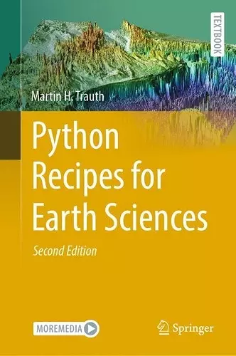
Python Recipes for Earth Sciences
Format:Hardback
Publisher:Springer International Publishing AG
Published:8th Oct '24
Currently unavailable, and unfortunately no date known when it will be back

Python is used in a wide range of geoscientific applications, such as in processing images for remote sensing, in generating and processing digital elevation models, and in analyzing time series. This book introduces methods of data analysis in the geosciences using Python that include basic statistics for univariate, bivariate, and multivariate data sets, time series analysis, and signal processing; the analysis of spatial and directional data; and image analysis. The text includes numerous examples that demonstrate how Python can be used on data sets from the earth sciences. Codes are available online through GitHub.
ISBN: 9783031569050
Dimensions: unknown
Weight: unknown
491 pages
Second Edition 2024