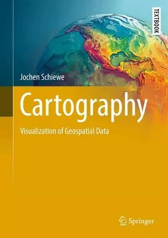
Cartography
Visualization of Geospatial Data
Format:Hardback
Publisher:Springer International Publishing AG
Published:2nd Aug '25
Currently unavailable, and unfortunately no date known when it will be back

What would our lives look like if there were no (good) maps?
Maps are essential for orientation, navigation, and simplifying complex environments, ultimately enhancing our understanding of the world. The visualization of geospatial data supports both laypeople and experts in various aspects of life—whether in personal, professional, or scientific contexts. With the growing availability of maps online, they are increasingly used in daily life on devices such as smartphones and tablets. However, the surge in map creation does not necessarily equate to the production of "good" maps—those that effectively and efficiently fulfill their intended purpose.
This book explores the full breadth of the field of Cartography. It delves into the core of the discipline, focusing on the graphical representation of geospatial data, spatial reference, and map projections. Additionally, it addresses key peripheral topics that contribute to a comprehensive understanding, such as usability testing, data collection and processing, and cartographic law. Rather than providing technical or software-specific guidance, the author emphasizes the fundamental concepts and methods of modern Cartography. Introductory chapter overviews, numerous illustrations, and practical exercises support this approach.
This textbook is a valuable resource for students and educators across various fields—Cartography, Geography, Geodesy, Urban and Regional Planning, Environmental Sciences, and more. It aids in the creation and use of "good maps" and provides a solid foundation in modern Cartography for anyone with an interest in maps.
ISBN: 9783031830228
Dimensions: unknown
Weight: unknown
377 pages