Northern France Marco Polo Map
Format:Sheet map, folded
Publisher:MAIRDUMONT GmbH & Co. KG
Published:15th Sep '22
Currently unavailable, our supplier has not provided us a restock date
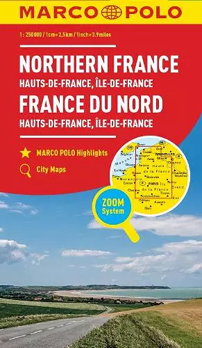
This non-fiction sheet map, folded, "Northern France Marco Polo Map" from Marco Polo, was published 15th September 2022 by MAIRDUMONT GmbH & Co. KG.
ISBN: 9783829738019
Dimensions: unknown
Weight: 235g
1 pages