Milton Keynes A-Z Pocket Street Map
Format:Sheet map, folded
Publisher:HarperCollins Publishers
Published:15th Apr '21
Should be back in stock very soon
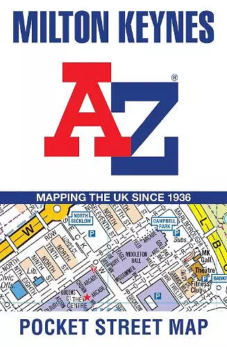
Navigate your way around Milton Keynes with detailed street maps from A-Z
This up-to-date, folded A-Z street map includes all of the 1,500 streets in and around Milton Keynes.
As well as Central Milton Keynes, the other areas covered include Shenley Church End, Walton Hall, Monkston, Willen Lake, Pennyland, Great Linford, Bradville and Heelands.
The large-scale street map includes the following:
• Places of interest
• Postcode districts, one-way streets and car parks
• Index to streets, places of interest, place and area names, park and ride sites, national rail stations, hospitals and hospices
The perfect reference map for finding your way around Milton Keynes.
ISBN: 9780008445324
Dimensions: 140mm x 90mm x 9mm
Weight: 40g
2 pages