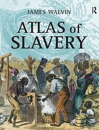
Atlas of Slavery
Format:Paperback
Publisher:Taylor & Francis Ltd
Published:25th Aug '05
Currently unavailable, and unfortunately no date known when it will be back

The first book to provide a visual cartographic account of the whole story of slavery and the slave trade.
Looks at slavery in the Americas in the context, taking account of both earlier and later forms of slavery. This work examines the relationship between the continents, Europe, Africa and the Americas, through a collection of maps and related text, which puts the key features of the history of slavery in their defining geographical setting.
Slavery transformed Africa, Europe and the Americas and hugely-enhanced the well-being of the West but the subject of slavery can be hard to understand because of its huge geographic and chronological span. This book uses a unique atlas format to present the story of slavery, explaining its historical importance and making this complex story and its geographical setting easy to understand.
"James Walvin maps the history of slavery from ancient to modern times and provides a succinctly written commentary on the same,.......further enhancing his reputation as one of the leading international figures in raising public awareness and understanding of slavery and its impact on global history".
David Richardson, Professor of Economic History, University of Hull.
This is a wide-ranging and extremely useful study of the historical geography of slavery and the slave trade. This Atlas will be an invaluable resource for students studying slavery and for the general reader interested in this important area.
Professor Gad Heuman, Department of History, University of Warwick.
ISBN: 9780582437807
Dimensions: unknown
Weight: 300g
160 pages