A13 Cabo San Juan to Culebra Is and Punta Figuras
Format:Sheet map, folded
Publisher:Imray, Laurie, Norie & Wilson Ltd
Published:1st Jun '04
Should be back in stock very soon
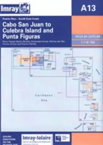
Imray-Iolaire charts for Caribbean are widely acknowledged as the best available for the cruising sailor. They combine the latest official survey Digital with first-hand information gathered over 60 years of research by Don Street Jr and his wide network of contributors. Like all Imray charts, they are printed on water resistant Pretex paper for durability, and they include many anchorages, facilities and inlets not included on official charts. Southeast Coast of Puerto Rico Plans include: Pasaje Medio Mundo Ensenada Honda Palmas del Mar Puerto Arroyo & Puerto Patillas
ISBN: 9780852883051
Dimensions: unknown
Weight: 180g
2 pages