National Geographic WWII European Theater Map
(folded from the Archives)
National Geographic Maps author
Format:Sheet map, folded
Publisher:National Geographic Maps
Published:1st Jul '26
Should be back in stock very soon
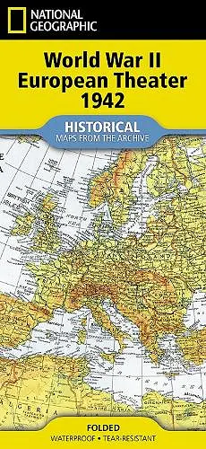
Step into a pivotal moment in history with this reproduction of National Geographic's 'Theater of War in Europe, Africa, and Western Asia,' originally published in July 1942, as the conflict raged across three continents. It shows international boundaries as of September 1, 1939, the day Germany invaded Poland, providing essential historical context for the early stages of World War II. Trusted by families, military planners, and leaders alike, this map is a defining moment frozen in time. It showcases National Geographic's legacy of precision and storytelling, offering collectors and history lovers a chance to connect with the enduring heritage of the 20th century. Every Map from the Archive is printed on durable synthetic paper, making them waterproof, tear-resistant and tough - capable of withstanding the rigors of repeated folding and unfolding.
ISBN: 9781566959919
Dimensions: unknown
Weight: 300g
2 pages
2026th ed.