Power Lines
Maps That Shaped the Way We See the World
Format:Hardback
Publisher:Workman Publishing
Published:21st May '26
Should be back in stock very soon
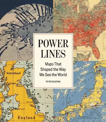
A collection of the greatest political maps in history and how these images have an unmatched power to influence our thinking-and our world.
In a world where Google Maps has largely taken over utilitarian functions like finding destinations and providing directions, printed maps still stir our imaginations. In this book, award-winning journalist Peter Keating assembles nearly 100 of the most impactful examples in history, across continents and centuries. There is the map featuring the Treaty of Tordesillas meridian, which Pope Alexander VI used to divide the whole of the western hemisphere between Spanish and Portuguese explorers in 1494. Maps from the Cold War, showing Communist threats closing in on the US from all sides. And even a map outlining the territories under gang control in Chicago in the midst of Prohibition. Accompanying each of these incredible pieces of art-cum-propaganda, Keating reveals the compelling stories of how they came to be, what they were up to, and why they still matter today.
This richly illustrated and deeply informative book will demonstrate the power maps have to shape how we see the world-and will be the perfect gift for politicos, history buffs, and map lovers alike.
ISBN: 9781579658779
Dimensions: 238mm x 206mm x 26mm
Weight: 1140g
296 pages