Manchester: Mapping the City
Brian Robson author Martin Dodge author Terry Wyke author
Format:Hardback
Publisher:Birlinn General
Published:4th Oct '18
Currently unavailable, our supplier has not provided us a restock date
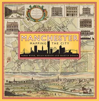
Manchester is one the world’s most iconic cities. Not only was it the first industrial city, it can claim to be the first post-industrial city. This book uses historic maps and unpublished and original plans to chart the dramatic growth and transformation of Manchester as it grew rich on its cotton trade from the late 18th century, experienced periods of boom and bust through the Victorian period, and began its post-industrial transformation in the 20th century.
The Peterloo Massacre, the Bridgewater Canal, the railway revolution, Trafford Park industrial estate, the Ship Canal, Belle Vue theme park, Wythenshawe garden city, the 1996 IRA bomb, Coronation Street, iconic football stadiums, and MediaCity are just some of the events and places that have put Manchester on the world’s perceptual map and are explored through a wealth of published and unpublished maps and plans in this sumptuously illustrated cartographic history.
'In the field of urban historical cartography you surely cannot get a better book than this. I certainly cannot think of a publication on the cartography of London which matches not only the breadth and depth of this volume, but also the quality of its production, from the weight of its paper, to its binding and the sharpness of its reproductions'
-- AH Schulenburg * Society of Cartographers Bulletin *'An endlessly fascinating anthology of the most important (and often unorthodox) maps of Manchester throughout its history. A truly beautiful book'
* Waterstones DeansgaISBN: 9781780275307
Dimensions: 255mm x 255mm x 30mm
Weight: 1701g
272 pages