C48 A Coruna to Porto
Atlantic Coasts of Spain and Portugal
Format:Sheet map, folded
Publisher:Imray, Laurie, Norie & Wilson Ltd
Published:1st May '20
Should be back in stock very soon
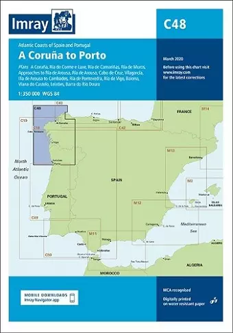
Chart scale 1: 350 000 Plans included: A Coruña (1:50 000) Ría de Corme e Laxe (1:75 000) Ría de Camariñas (1:50 000) Ría de Muros (1:75 000) Approaches to Ría de Arousa (1:150 000) Ría de Arousa (1:150 000) Cabo de Cruz (1:40 000) Vilagarcía (1:35 000) Illa de Arousa to Cambados (1:40 000) Ría de Pontevedra (1:150 000) Ría de Vigo (1:150 000) Baiona (1:85 000) Viana do Castelo (1:30 000) Leixões (1:20 000) Barra do Rio Douro (1:20 000)) On this edition the chart specification has been improved to show coloured light flashes. There have been numerous updates to harbour developments across the chart. The plan of Ría de Camariñas has been extended westward to include a larger scale approach and full charting of Las Quebrantas bank. There has been general updating throughout.
ISBN: 9781786792037
Dimensions: unknown
Weight: 240g
2 pages
New edition