C80 Great Britain and Ireland
Format:Sheet map, folded
Publisher:Imray, Laurie, Norie & Wilson Ltd
Published:30th Jan '24
Should be back in stock very soon
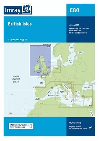
Handy for planning round-Britain circumnavigations, chart C80 British Isles provides an overview of Britain, Ireland and adjacent islands including Orkney and Shetland. On this edition the magnetic variation curves have been updated with 2020 Digital. There has been general updating throughout.
ISBN: 9781786792501
Dimensions: unknown
Weight: 240g
2 pages
New edition