Lonely Planet Switzerland Planning Map
Format:Sheet map, folded
Publisher:Lonely Planet Publications
Published:12th May '26
Should be back in stock very soon
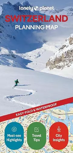
Chart your dream trip to Switzerland with Lonely Planet's Switzerland Planning Map, the ultimate travel tool to help you navigate your way around this amazing country.
Explore the Lavaux wine region, hike the Aletsch Glacier trail, leap into Bern's turquoise ribbon of a river, and decide where to go and what to see next on a route that works for you.
Inside Lonely Planet's Switzerland Planning Map:
- Full colour map in a durable easy-fold format
- Waterproof and packaged in a handy slipcase
- Alphanumeric grid to find points of interest easily
- Transport planner with average travel times to help you get around
- Top picks of must-see highlights including the best culinary delights, historical sights, and outdoor experiences
- Essential travel tips and nuts and bolts information on manners, tipping, daily costs
- Beautiful photography and detailed mapping
- Covers: Lake Geneva & Vaud; Fribourg, Drei-Seen-Land & the Jura Mountains; Bern & Bernese Oberland; Valais; Ticino; Central Switzerland; Northwest Switzerland; Zürich & Northeastern Switzerland; Graubünden; Liechtenstein
Get ready for your next adventure with Lonely Planet's Switzerland Planning Map, the ultimate navigation tool to inspire your upcoming trip and take you to the heart of Switzerland - your way.
ISBN: 9781806533312
Dimensions: 197mm x 95mm x 7mm
Weight: 35g
2 pages