A23 Virgin Islands and St Croix
Format:Sheet map, folded
Publisher:Imray, Laurie, Norie & Wilson Ltd
Published:1st Jul '24
Currently unavailable, our supplier has not provided us a restock date
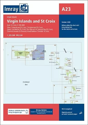
Imray-Iolaire charts for Caribbean are widely acknowledged as the best available for the cruising sailor. They combine the latest official survey Digital with first-hand information gathered over 60 years of research by Don Street Jr and his wide network of contributors. Like all Imray charts, they are printed on water resistant Pretex paper for durability, and they include many anchorages, facilities and inlets not included on official charts. Includes inset of St Croix (1:100,000) Other plans included: Christiansted (St Croix) Port Alucroix & Limetree Bay (St Croix) Frederiksted (St Croix) Green Cay Marina (St Croix) Road Harbour (Tortola) Charlotte Amalie (St Thomas)
ISBN: 9781846235399
Dimensions: unknown
Weight: 180g
2 pages