M40 Ligurian and Tyrrhenian Seas
Format:Sheet map, folded
Publisher:Imray, Laurie, Norie & Wilson Ltd
Published:30th May '23
Should be back in stock very soon
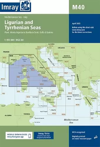
Plans included:Monte Argentario (1:100 000)Bonifacio Strait (1:225 000)Golfo di Salerno (1:100 000)For this 2014 edition the chart has been fully updated throughout using revised depths where applicable. The full list of recently deployed AIS transmitters are shown across the chart, as is the new marina in Rada di Salerno.
ISBN: 9781846236167
Dimensions: unknown
Weight: 140g
2 pages