The Immeasurable Wilds
Travellers to the Far North of Scotland, 1600-1900
Format:Paperback
Publisher:Porto Press Ltd
Published:23rd May '22
Should be back in stock very soon
Towards the end of the 18th century the attention of mapmakers, explorers and travellers turned to the north of Scotland. The mountains that rise north of Stirling formed a formidable barrier for anyone wanting to visit the Highlands, and travellers to the Far North were even rarer: there were no roads at all into most of Sutherland, and Ross and Cromarty until the early years of the 19th century. Who did go there, and why?
This book follows the early mapmakers who gradually revealed the area, including Timothy Pont and Alexander Bryce who published the first accurate map of the north coast. General Roy covered the whole of Scotland for his remarkable ’Great Map’, and later, the indomitable and energetic General Colby dragged his reluctant Ordnance Survey team across much of the north, as documented by Robert Kearsley Dawson. Meanwhile, Culloden led to increased interest in the area, as is evident not only from the visit of Dr. Johnson, but also those from Thomas Pennant, Bishop Pococke and the Rev. Charles Cordiner, all of whom managed to reach the far north-west and leave fascinating accounts of what they found. The poverty that was apparent to these visitors from the south led to action from the British government, not least an important road-making scheme under Thomas Telford which is documented in this book using not only the official reports, but also an enthusiastic account left by the Poet Laureate of the time, Robert Southey.
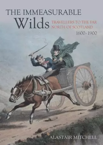
With the new roads came the tourists, flocking to sites like Loch Katrine, in search of signs of Sir Walter Scott’s heroes and heroines. But it was only the bolder few who made it to the far north-west, men like the Rev. James Hall, ‘making love’ under the table at Caithness, or James Hogg, ever the ladies’ man at Lochs Duich and Maree. The book follows this story, which has barely been mentioned in popular literature, and delights in choice anecdotes from all these accounts, touching on a number of disciplines: cartography, early geology and botany. But above all, it gives a picture of this unknown region, as it seemed to those exploring it, an area of astonishing beauty, with inhabitants that showed notable warmth and generosity in spite of their poverty.
......This absorbing account of the historical experience of travelling north-west of Inverness traces the efforts of surveyors, mapmakers, and road- and bridge-builders to make the region accessible to those who lived beyond it. Drawing on multiple historical accounts by travellers, poets, surveyors, engineers and scientists, official reports and geological surveys, it is illustrated with well-chosen maps, drawings and archival photographs. Others have written about these adventurers, and the development of infrastructure, but this work is distinguished in bringing these together with a discussion of the land itself. It is thus a text redolent with the sense of place, and endearingly, of the author’s great personal fondness for the landscape and its people...
-- Anna Groundwater * Scottish Historical Review *The Immeasurable Wilds , an engrossing read; I discovered this with some surprise as I am not someone who is normally absorbed by non-fiction....I started right at the beginning and I'm very glad I did... Incredibly the (not insignificant) research carried out for the book was....a solitary effort. He breathes life into the accompanying sketches and photographs....Whether you have an interest in Scotland's landscape or her history, or if you are looking to read an informative text that reads like a novel, you will not be disappointed.
-- Ceri Patterson-Nairn * Wittance *....a fascinating book that will be enjoyed by anyone with an interest in the north of Scotland....a wonderful and superbly researched distillation of the travels and discoveries of three centuries of earlier visitors to the area....
-- Undiscovered Scotland...a truly engaging history about one of Scotland's lesser known regions.
-- Scottish FieldThe Immeasurable Wilds" is a book I feel will become an important part of Scotland's history for years to come...
-- Katherine Douglas * Ross-shire Journal *Author Alastair Mitchell has researched with enthusiasm how the far north was revealed through early travellers....with accompanying photographs and maps, a must for people who have a real interest in the discovery of areas and their people.
-- Travel and Lifestyle MagaISBN: 9781849954921
Dimensions: 240mm x 170mm x 1mm
Weight: 556g
224 pages