Cycling Map Strathearn Perthshire
Harvey Map Services Ltd author
Format:Sheet map, folded
Publisher:Harvey Map Services Ltd
Published:17th Sep '07
Currently unavailable, our supplier has not provided us a restock date
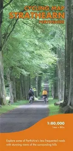
Printed on waterproof paper, clear, easy to read, routes included :- Lower Earn 24 miles, Corb Glen 16 miles, Hidden Chapels 9 miles, Romans & Culdees 21 miles, Gask Ridge 19 to 26 miles, Upper Earn 20 miles, Ancient Stones 20 miles,or 17 miles using off-road tracks, Glenalmond 24 miles.
ISBN: 9781851374038
Dimensions: unknown
Weight: unknown
1 pages