Bradshaw's Railway Folded Map 1907
Format:Sheet map
Publisher:Bloomsbury Publishing PLC
Published:21st Nov '11
Should be back in stock very soon
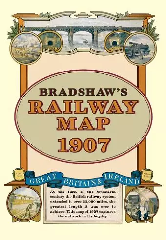
At the turn of the 20th century the rail network extended to over 23,000 miles.
Very nearly the circumference of the world, this was the greatest length it was ever to achieve. Some urban routes had closed and later, hundreds of rural lines and stations succumbed to the Beeching axe.
A facsimile of Bradshaw's classic map from 1907, this iconic piece of Victorian history shows the Great British and Irish rail network in its heyday before the decline commenced.
ISBN: 9781908402134
Dimensions: 210mm x 148mm x 12mm
Weight: 120g