Slow Ways Northern Great Britain
Journey Planner
Charlie Peel author Slow Ways author Urban Good illustrator
Format:Sheet map, folded
Publisher:Urban Good
Published:15th Aug '22
£8.00
Available to order, but very limited on stock - if we have issues obtaining a copy, we will let you know.
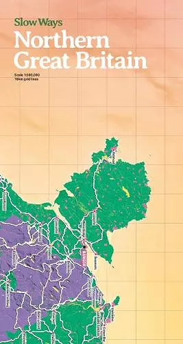
The map will be great for: imagining; planning journeys; drawing on; using as a companion to the website; marking Slow Ways you plan to walk; recording routes you have walked; learning about active travel in schools; making walls look fantastic! It is a two-sided giant, colourful and functional map. Slow Ways is an initiative to create a network of walking routes that connect all of Great Britain's towns and cities as well as thousands of villages and every national park. People can use the routes to walk between neighbouring places or combine routes to travel over longer distances. Slow Ways was kick-started during the first lockdown with hundreds of volunteers suggesting thousands of routes. There are now over 8,000 routes in the network that cover over 120,000km. Using the Slow Ways website, people are now walking the routes to make sure they are good enough to be in the network. Enough work has now been done to publish our first printed map of the network at a scale that is perfect for imagining, planning and recording journeys.
ISBN: 9781914432118
Dimensions: 238mm x 127mm x 10mm
Weight: 108g
2 pages