Slow Ways
Walking network
Charlie Peel author Urban Good author
Format:Sheet map, folded
Publisher:Urban Good
Published:7th Jul '23
Should be back in stock very soon
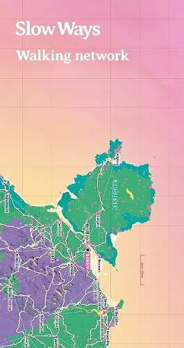
2nd Edition, double-sided, folded map (2023) Slow Ways is a grassroots initiative to create a national network of walking routes that connect all of Great Britain's towns and cities as well as thousands of villages. This giant network is being co-created and drawn by thousands of volunteers. We want to make it easier for people to imagine, plan and enjoy walking journeys - and we'd love your help to do that. The maps are big, bold, beautiful and designed to inspire and support people imagine, plan and share journeys. The map is great for: imagining, planning journeys, drawing on, using as a companion to the website, marking Slow Ways you plan to walk, recording routes you have walked, learning about active travel in schools, making walls look fantastic! The map highlights and celebrates our National Parks, Areas of Outstanding Natural Beauty, cities and towns - with all the Slow Ways walking paths that connect them.
ISBN: 9781914432132
Dimensions: 238mm x 127mm x 10mm
Weight: 120g
2 pages
2nd Revised edition