2024 Collins Handy Road Atlas Britain and Ireland
A5 Spiral
Format:Spiral bound
Publisher:HarperCollins Publishers
Published:11th May '23
£5.99
Available for immediate dispatch.
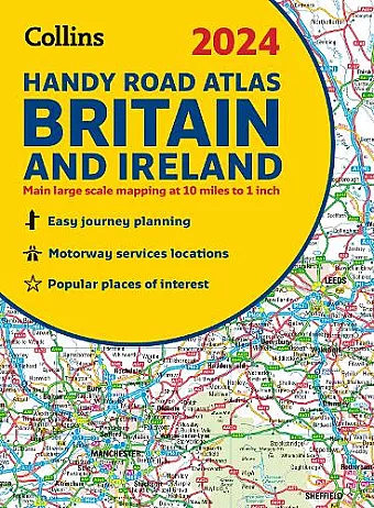
This easy-to-use, handy A5 sized road atlas with popular lie-flat spiral binding features extremely clear route planning maps of Britain and Ireland and fits neatly into your glove box or bag.
The maps of Britain are at 10 miles to 1 inch (1:625,000) and the whole of Ireland is covered at 15.8 miles to 1 inch (1:1,000,000). There are also a selection of more detailed urban area maps at 4.5 miles to 1 inch (1:285,000) to aid route planning in these busy areas.
Main features:
- Road maps that focus on the main roads, motorways and settlements
- More detailed maps of London, Manchester, Merseyside and West Midlands
- Park & Ride locations (for bus and rail)
- Handy distance calculator chart highlighting distances between the major towns <
ISBN: 9780008597610
Dimensions: 210mm x 154mm x 4mm
Weight: 140g
80 pages
New edition